Rising temperatures in urban areas, a trait of urban heat islands, have a massive, negative influence on many aspects of life in the city, including the residents’ health and well-being. Improving street-level thermal comfort and temperature mitigation is a challenge for urban planners, policy makers, and climatologists.
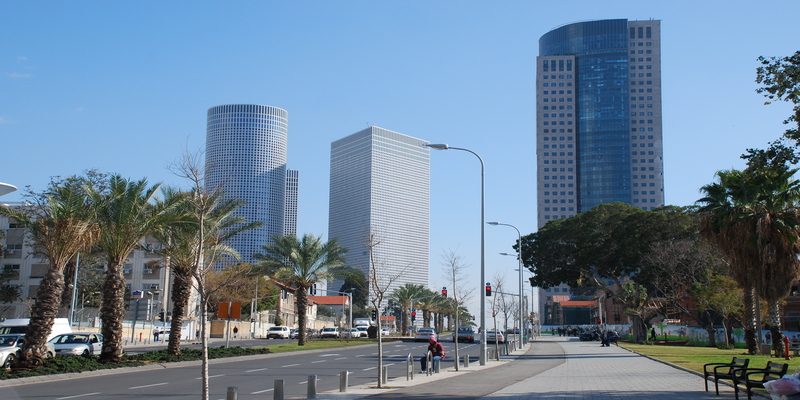
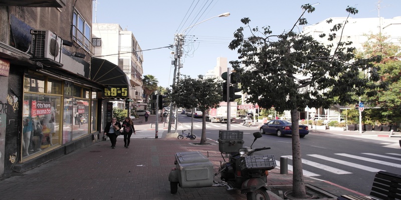
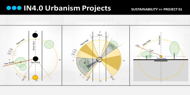
This project will propose a digital tool for assessing solar insolation and optimizing the provision of shade at the city-street level, using Google Street View database and AI image segmentation. Using street-level imagery for urban-climate research has the advantage of accurately representing the street canyon environment, including street vegetation and other solar obstructions, from the street users’ perspective.
The project’s primary goal is to improve street-level thermal comfort for city residents’ well-being by supporting planners and policymakers with an accessible, accurate planning solution for providing optimal shade at the city street level.


